What we offer
From custom mapping to spatial data processing, NanoGIS supports aquatic environment professionals at every step: business interfaces, analyses, outsourced GIS, and secure hosting.
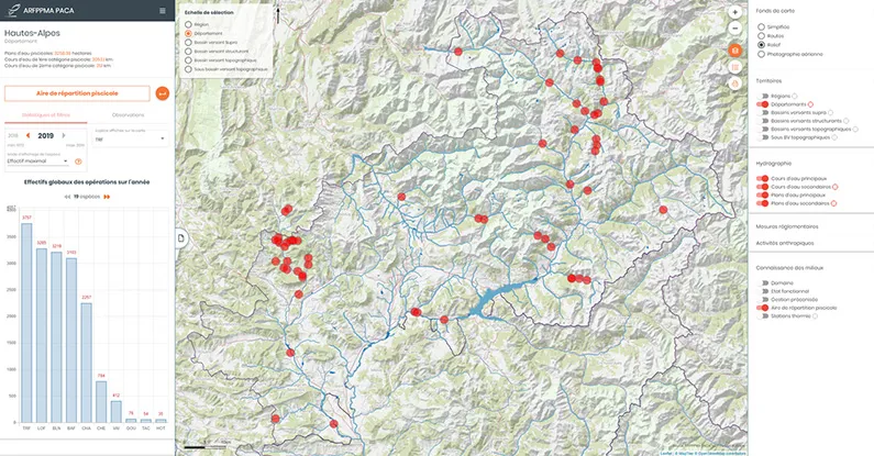
Mapping interfaces
Empower your expertise and add value to your activities through cartographic representations of your territory. The features of our business-focused geoportals are dedicated and tailored to your area of intervention.
Select the data of your choice, record your analyses, and share them with your users through secure access.
Data analysis & processing
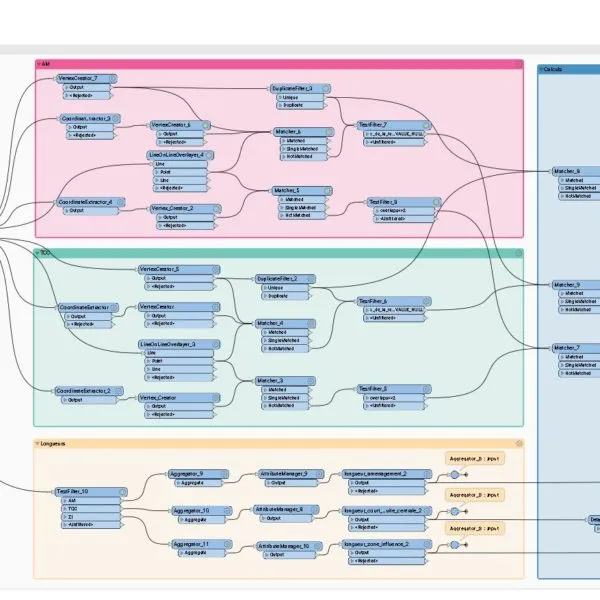
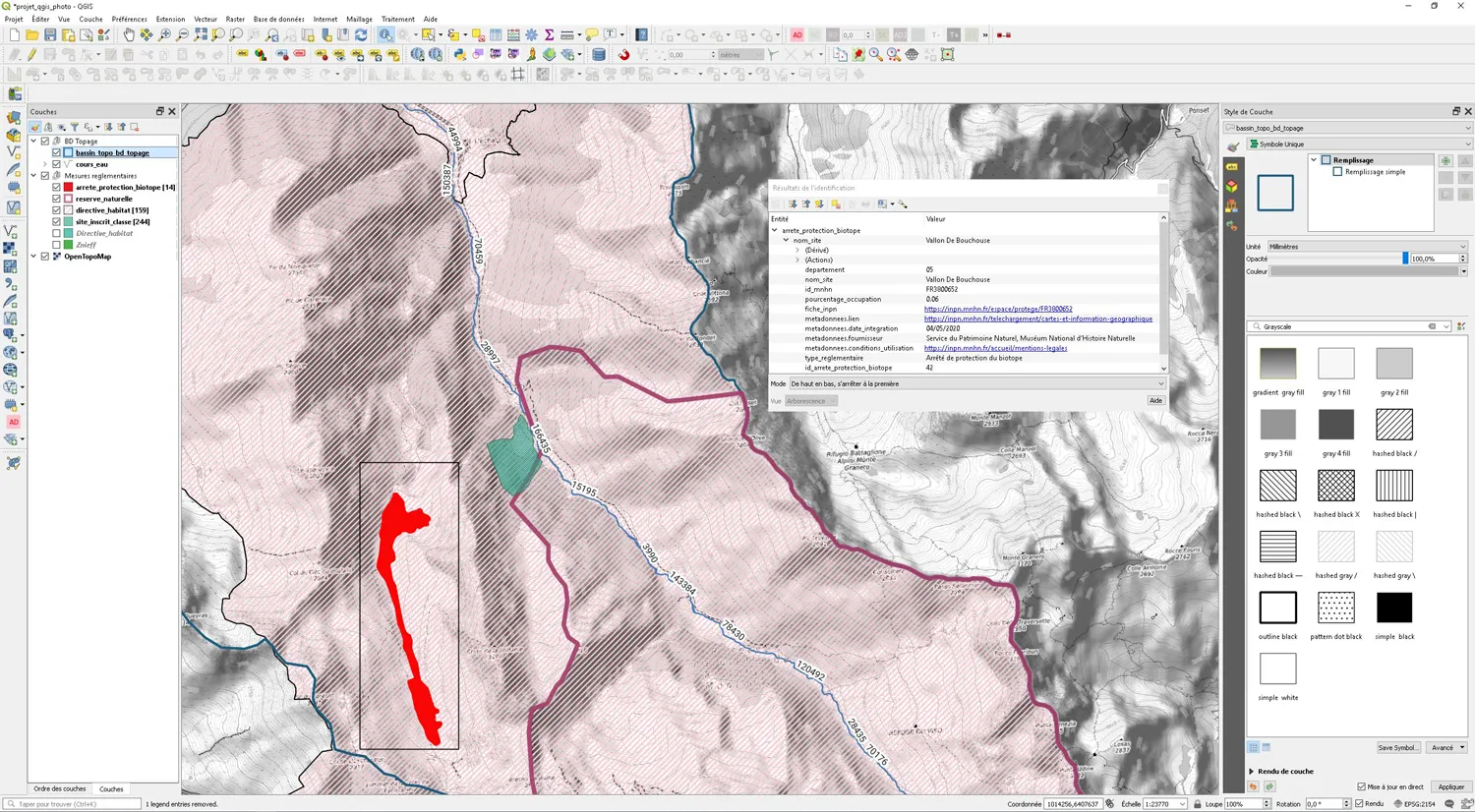
We verify, improve and structure your geolocated and attribute data to provide you with quality datasets. We also import OpenData produced by other organizations relevant to your analyses.
Facing the heterogeneity of formats and the need to aggregate information sources, we handle the cross-referencing so you can focus on your territorial diagnostics.
Outsourced GIS
A support service for your teams using mapping software, designed for efficient initial handling of field data.
We host your data on a server dedicated to your organization, to which you can connect your usual mapping software.
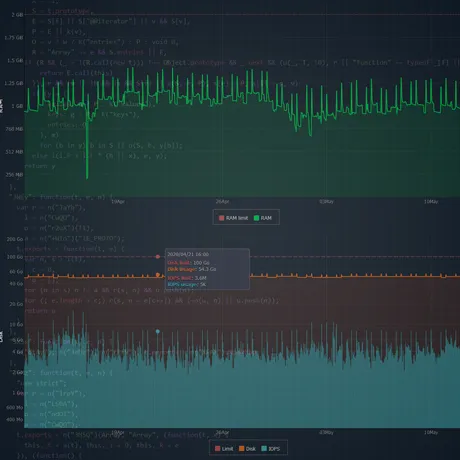
Hosting & scalability
We securely host your data and applications in SaaS mode. We handle server maintenance and software updates of your spatial data infrastructure.
Benefit from continuous deployment of your applications through successive iterations, ensuring constant evolution of the features you need.
Let's talk about your need
A business GIS project?
Let's design it together.
Describe your context — field team, data volume, use cases — and we'll define the scope of your mapping solution together.